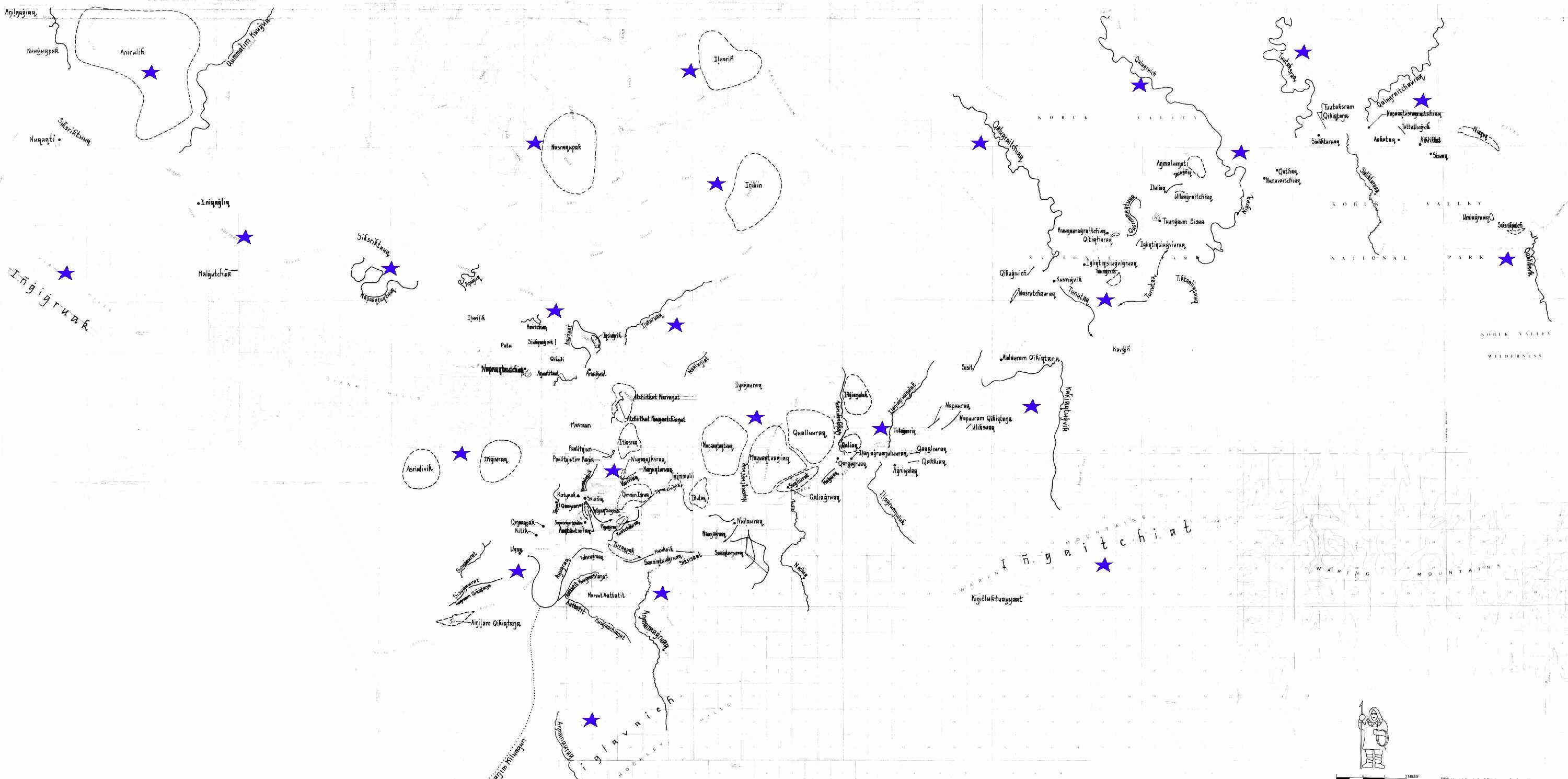
There are many layers to discovering and understanding Native place names and the land. The Katyaak, Inupiat Placenames in the Kiana Area map was prepared in 1994 by NANA Regional Corporation with funding provided by the National Park Service and NANA. There are also recordings of some of the discussions that took place in order to put the place names on the map. We hope to be able to eventually attach some of the discussion to places on these maps.
What you see below, which may look like a lot of empty space, is a reproduction of the overlay of the Kiana map. The original map is extremely large, about 6 feet by 4 feet. Making sense of all that information in the context of a web site can be a problem. To keep the the index map smaller, I chose to save only the overlay as only 16 colors, that is, basically in black and white, and at a somewhat smaller size (width x height) than the orignal digital scan. The index map is about 250 k so hopefully, while it downloads, you can read this information.
The black and white index map which is below this text, has many links that you can click on to see smaller detailed maps. The place names link from this page provides descriptions of Inupiaq names for geographic features and places. Once you start clicking on links in the index map, there will be two browser windows, one with this page and the other where the detailed maps will load.
Download the entire Kiana Place Names Map (approximately 4 megabytes). The quality is equivalent to the the detailed linked maps. Please bookmark this page so you can find it quickly. Link to definitions of Inupiaq words for place names and references to the map
